
Loading...
CEO
Speaking Heroes







Date
Digital. Effizient. Urban. - Die smarte Plattform für kommunales und infrastrukturelles Management VertiGIS Lösungen auf Basis der ArcGIS Plattform ermöglichen einen umfassenden Erkenntnisgewinn, eine Entscheidungshilfe sowie erhebliche Effizienzsteigerungen in der digitalen Verwaltung und dem Management von Infrastrukturen in der Öffentlichen Hand, der Industrie sowie Versorgungswirtschaft. Erfahren Sie, wie VertiGIS als Marktführer mit industriespezifischen Lösungen sicherstellt, dass Sie Infrastrukturen aller Art mithilfe moderner Technologien wie Künstlicher Intelligenz, SaaS, Cloud und Visualisierung strukturiert, übersichtlich und effizient managen können.
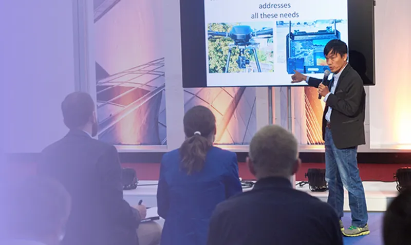
Cities are heating up and the impacts are not evenly distributed. As urban heat islands intensify, planners need solid spatial evidence to convince decision-makers, guide interventions, and prioritize the health of citizens most at risk. This presentation showcases an integrated geospatial approach to urban heat resilience. By capturing the city in 3D using aerial imaging sensors to create a thermal-aware digital twin of the urban environment. This model reveals where heat builds up, who is most exposed, and where interventions will be most effective — without conflicting with existing infrastructure or utilities. Through thermal imaging combined shadow analysis, solar exposure mapping, and full 3D volume analysis of buildings and vegetation, planners gain a powerful decision-support tool that bridges the gap between science, policy, and design. This is not just about visualizing heat — it’s about using reality-based data in combination with GIS to act faster, smarter, and more precisely in the face of rising temperatures.
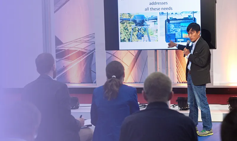
Die digitale Erfassung der Bahninfrastruktur stellt eine enorme Herausforderung für Unternehmen in der Vermessungsbranche dar. Einerseits werden höchste Anforderungen an die Genauigkeit gestellt, andererseits ist eine effiziente und wirtschaftliche Datenerhebung unerlässlich. Diese scheinbar widersprüchlichen Anforderungen lassen sich durch den kombinierten Einsatz leistungsfähiger terrestrischer Laserscanner und hochgenauer UAV-Laserscanning-Systeme erfolgreich bewältigen. Die synergetische Nutzung beider Technologien ermöglicht eine präzise, flächendeckende und zugleich zeitsparende Erfassung komplexer Infrastrukturbereiche – eine wesentliche Grundlage für zukünftige Planungs- und Instandhaltungsmaßnahmen im Schienenverkehr.
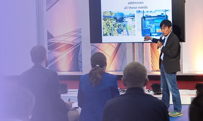
Das Projekt steht kurz vor dem Abschluss und es wurde in diesem Rahmen die Bauüberwachung mit großen remote Anteilen getestet. Die daraus resultiergenden Ergebnisse aus dieser Machbarkeitsstudie und angeschlossenen Handlungsempfehlungen können wir in diesem Rahmen vorstellen. Zum Einsatz kamen neueste Technologien, wie das DJI Dock 2, die Handheld Scanner viDoc, aber auch BIM Datenviewer wie NOVORENDER oder BIM Tools wie BIM collab.
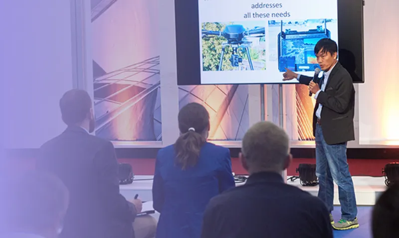
Die Bentley's Lösungen befähigen Architektur-, Ingenieur- und Bauunternehmen, Infrastruktur effizienter zu planen und die Zusammenarbeit aller Beteiligten zu optimieren. Die Lösung ermöglicht ein schnelleres und effektiveres Entwerfen und Analysieren von Designs, wodurch Zeit und Ressourcen gespart werden. Durch die kollaborative Benutzeroberfläche erhalten Stakeholder leichter Zugang zu präzisen Unterlagen, was den Übergabeprozess von der Planung zur Ausführung beschleunigt und Fehler reduziert.
Die präzise und effiziente Erfassung von Infrastrukturbauwerken wie sanierungsbedürftigen Autobahnbrücken stellen derzeit hohe Ansprüche an die moderne Vermessungstechnologie. Terrestrisches Laserscanning hat sich dabei als leistungsfähiges Verfahren zur detailreichen und schnellen Datenerhebung etabliert.Durch integrierte Georeferenzierung wird sichergestellt, dass die gewonnenen Punktwolken millimetergenau in definierte Koordinatensysteme eingebunden werden können. Diese digitale Erfassung bildet die Grundlage für weiterführende Analysen, Planungen und Simulationen im Rahmen von Instandhaltung, Sanierung oder Neubau. Die Kombination aus Laserscanning und präziser Georeferenzierung eröffnet damit neue Perspektiven für ein nachhaltiges Infrastrukturmanagement.

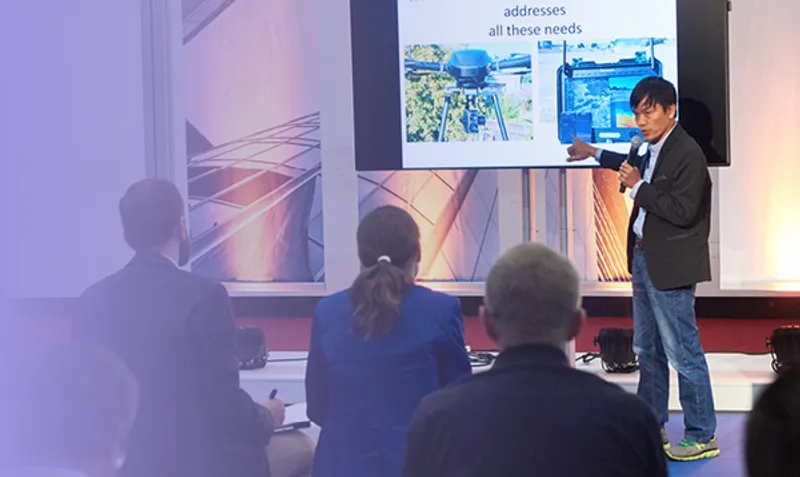

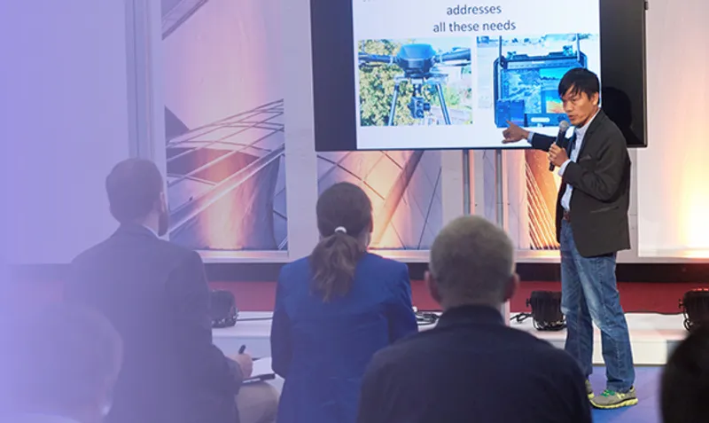
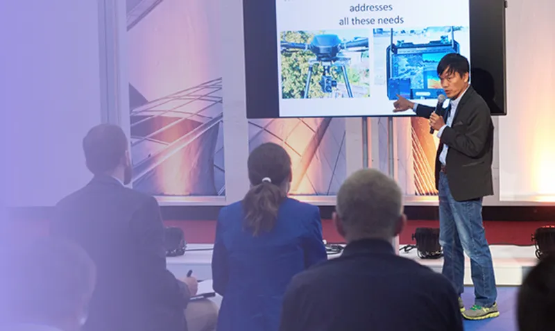
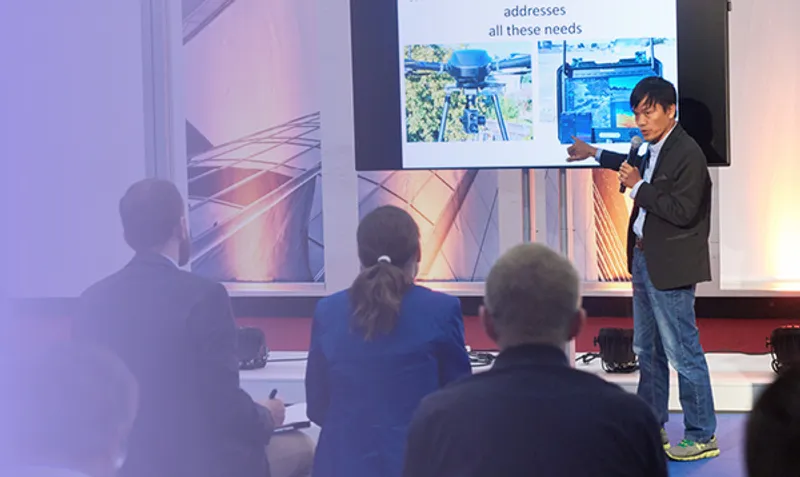
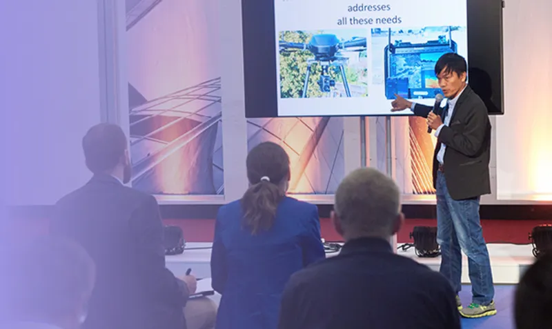

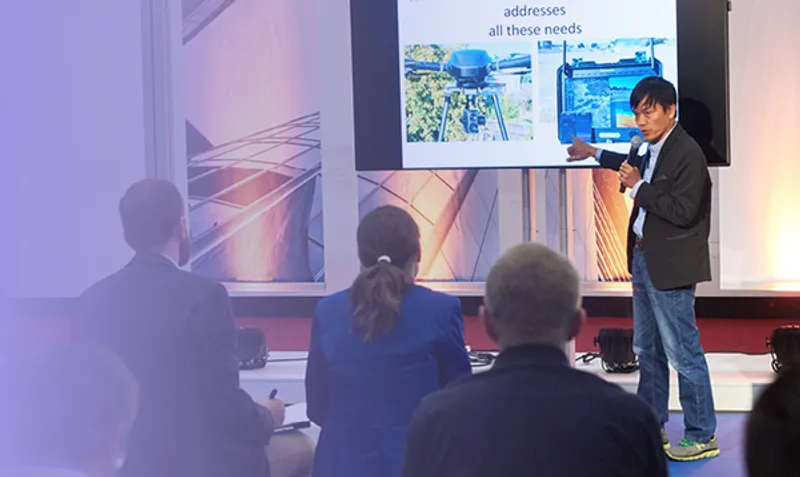
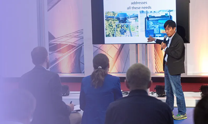
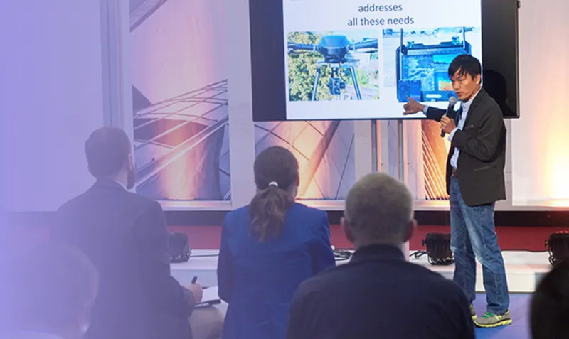
In an era where spatial data drives critical decisions — from infrastructure development to environmental response — the challenge is no longer access to technology, but access to adaptable, user-centric, and scalable geospatial solutions. At FJDynamics, our approach is rooted in continuous innovation: not just building devices, but creating a flexible ecosystem that connects hardware, software, and intelligent accessories into a seamless workflow. Our new-generation solutions, including handheld LiDAR Scanner like P2 and mini RTK V4E, are designed not as isolated products, but as building blocks in a broader system that addresses the evolving needs of professionals across surveying, forestry, AEC, and emergency management. This talk will explore how we apply real-time processing, cross-platform software, and modular expansion to democratize 3D mapping—reducing friction between field data collection and decision-making. Through real use cases and lessons learned, we’ll share how technology-driven design can transform geospatial work from a fragmented process into a coherent, future-ready ecosystem.
Die präzise Dokumentation von unterirdischen Leitungen ist entscheidend, um kostspielige Fehler zu vermeiden und die Sicherheit in dicht bebauten Städten zu gewährleisten. Herkömmliche Photogrammetrie stößt jedoch in engen Gräben oder schwer zugänglichen Bereichen oft an ihre Grenzen. Gaussian Splatting eröffnet hier eine neue Dimension des 3D-Modellierens – mit fotorealistischer Darstellung und georeferenzierter Präzision. Diese Session zeigt einen modernen Workflow zur Leitungserfassung: Mobiles Scannen am Boden mit RTK-fähigen Smartphones oder Tablets Fotorealistische 3D-Rekonstruktionen von Grabeninnerem, Leitungen und Bodenverhältnissen dank Gaussian Splatting Georeferenzierung auf Vermessungsniveau, kompatibel mit RTK oder Passpunkten Cloudbasierte Verarbeitung und Visualisierung, für schnellen Zugriff und nahtlose Zusammenarbeit im Projektteam Anstelle von punktuellen Einzelmessungen entstehen dichte, lückenlose Modelle, die vor dem Verfüllen des Grabens als verlässlicher Beleg dienen. Das Resultat: weniger Streitfälle, bessere Nachverfolgbarkeit und langfristig optimierte Planung im Leitungsmanagement. Relevanz für Versorgungsunternehmen, Bauunternehmen und Ingenieure, die auf moderne Methoden zur Graben- und Netzdokumentation setzen.


Companies need to level up their marketing and the website and Google ads is not enough anymore. Let's dive deeper into waters of YouTube content creation and building a brand on Linkedin with Rami Tamimi and Michal Gula
As construction demands intensify and margins shrink, manual survey methods can’t keep up. This session explores how high-accuracy drone mapping—enhanced by RTK/PPK workflows and docked drone automation—is transforming how contractors document progress, validate work-in-place, and mitigate risk. You’ll learn how firms are cutting survey time by 70%, reducing rework with centimeter-grade overlays, and scaling data capture across projects without adding headcount.

In today’s construction environment, precision and efficiency are non-negotiable. This session introduces the industry’s first and only robotic layout solution that unifies floor deviation marking into a real-time, on-site process. Learn how HP SitePrint transforms traditional workflows by combining layout execution, floor level measurement, and deviation marking in a single automated step. The session will feature a real-world case study showcasing the implementation of this technology on a live project. Attendees will gain insights into how this approach drives cost savings, reduces errors, and enhances collaboration across trades.

Learn how general contractors replace hours of documentation work with one walkthrough using XGRIDS mobile scanning. This session shows real project workflows where a single scan generates multiple deliverables: Dense point clouds for CAD/BIM integration Textured meshes for design validation Geo-referenced panoramic images for documentation Browser-viewable and shareable photorealistic 3DGS models for stakeholder communication Real project examples include: Overlay analysis comparing as-built vs. design intent QA tracking across construction phases Client presentations delivered through web browsers Concrete pour verification and MEP installation tracking Virtual property tours eliminating multiple site visits Attendees will see measured time savings from actual projects, understand technical requirements, and learn integration best practices for existing BIM workflows. Covers scan planning, data processing timelines, and file management.
Zahlreiche afrikanische Länder streben den großflächigen Einsatz von unbemannten Flugsystemen (UAS) an und eröffnen damit neue Anwendungsmöglichkeiten in verschiedenen Sektoren - von Geodäsie und Landmanagement über Naturschutz bis hin zur Gesundheitsfürsorge. Vertreter:innen afrikanischer Luftfahrtbehörden (u.a. aus Ruanda und Nigeria) und Expert:innen der Drones Doing Good Alliance präsentieren in dieser Paneldiskussion aktuelle Entwicklungen beim Aufbau nationaler Drohnen-Operationszentren und bei der Schaffung länderübergreifender Genehmigungsverfahren, die den Einsatz von Drohnen in Bereichen wie Naturschutz und Landwirtschaft erleichtern sollen. Als konkretes Beispiel für die verbesserten Anwendungsmöglichkeiten wird im zweiten Teil der Diskussion ein innovatives, drohnengestütztes Verfahren zur Identifikation und Bekämpfung von Moskitoslarven vorgestellt. Dieses wurde von Charis UAS unter Leitung der Geschäftsführerin Kelia Mugenzi Teta in enger Kooperation mit dem Gesundheitsministerium Ruandas entwickelt und demonstriert in Verbindung mit vereinfachten Genehmigungsverfahren das große Potenzial von Drohnen in der Malariaprophylaxe. Diskutieren Sie mit Expert:innen die ambitionierten Pläne, die rechtlichen und technologischen Fortschritte sowie das breite Anwendungspotenzial von Drohnen auf dem afrikanischen Kontinent – von Geodäsie und Landmanagement über Naturschutz bis hin zur Gesundheitsfürsorge.

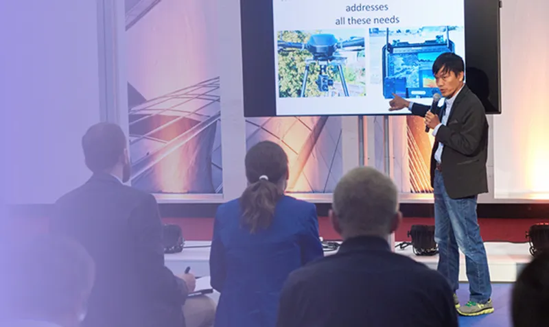

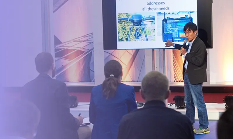
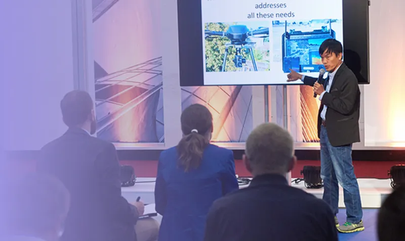
A team of volunteers has scanned all of Alcatraz Island, insode and out, to assit the US National Park Service with managing this iconic site. A unique combination of aerial and ground based LiDAR, aerial phoptpgrammetry, and multispectral imaging were used. Project manager Pete Kelsey will present the final data, discuss workflows, and share stories of spending three weeks, living in cells, in the infamous prison.

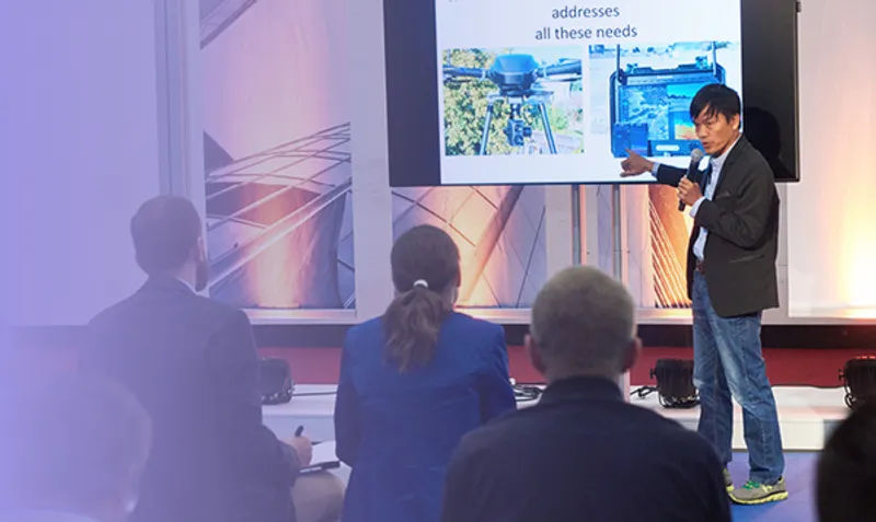
In a context where efficiency, safety, and sustainability are key for the energy sector, having accurate, real-time information on the state of infrastructure is no longer an option, but a necessity. DALIA responds to this challenge with an innovative, scalable, modular and customisable solution based on artificial intelligence and digital twins, which enables the digitisation and automation of infrastructure inspection, reducing costs, minimising risks and accelerating strategic decision-making.
Surveyors play a crucial role as key data managers in modern construction and infrastructure projects. Yet, too often, survey and geospatial teams are left out of information management and digital engineering strategy discussions, leading to gaps in project integration. In this session, we explore the latest advancements in geospatial digitization through the integration with many surveying platforms such as HxGN Geocloud, ConX, and survey focused Common Data Environments like 12d Synergy. Learn how a data-agnostic approach is transforming the way survey teams manage, share, and connect information across every project phase. Gain valuable insights into streamlined office-to-field and field-to-office workflows, applied standards in construction projects, and how digital solutions enhance efficiency for both your company and your clients. Join us to discover how surveyors can take a leading role in shaping the future of digital engineering and project information management. Which Key Points to bring across Invest in digitalization! Inights on best practises on managing survey specific workflows and data sets Compliance with Industry standards like ISO 19650 and client integration for efficient UX will drive the value of the "working" cloud solution.
Reality capture technologies are generating 3D data at exponential rates. Yet our industry’s fragmented, file-based workflows are reaching a breaking point. As scan frequencies rise and data volumes grow, many organizations are already overwhelmed—struggling to store, access, or even process their own datasets. This keynote highlights a paradigm shift: moving beyond shipping hard drives and isolated point clouds toward an open, cloud-native infrastructure that treats terabytes of scans as a unified, queryable asset. Without scalable tools, reality capture becomes a cost center: data piles up unprocessed, inaccessible, and eventually unusable. Using LumiDB as a case study, we explore how multi-modal datasets (aerial, mobile, terrestrial) can converge into a single source of truth accessible across BIM, GIS, and engineering tools. Real-world deployments illustrate how indexing, searching, and sharing previously siloed 3D data unleashes new cross-domain insights.
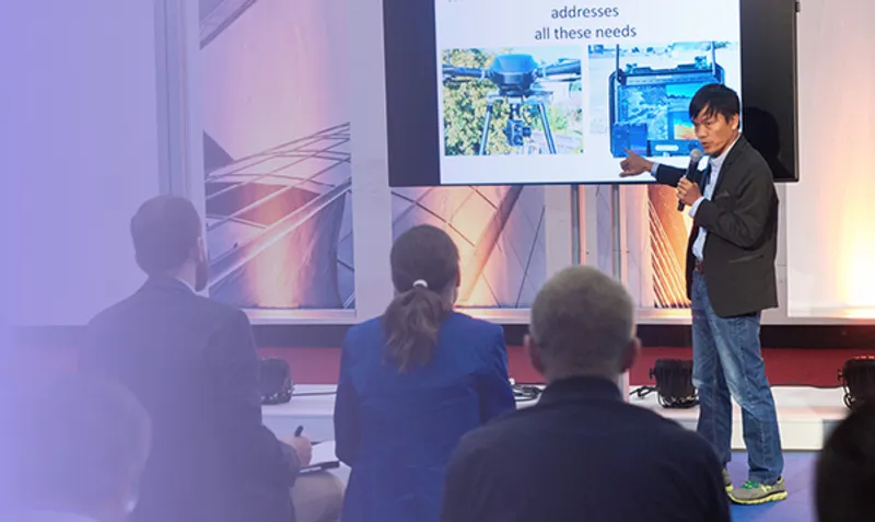
As 3D scanning projects grow in complexity and scale, the need for a unified hub to align, merge, and curate 3D scan data has never been greater. NavVis IVION empowers organizations to seamlessly manage this workflow with intelligent voxel filtering, robust data governance, and instant publishing capabilities. This presentation will demonstrate how cross-dataset SLAM in NavVis IVION enhances data accuracy by correcting registration errors across multiple scans—eliminating the inconsistencies that plague large, heterogeneous datasets. You'll also discover how intelligent voxel filtering removes redundant geometries, making double walls and messy overlaps a thing of the past. Learn how NavVis IVION ensures data integrity at scale, enabling teams to confidently deliver clean, high-fidelity environments with speed and precision.
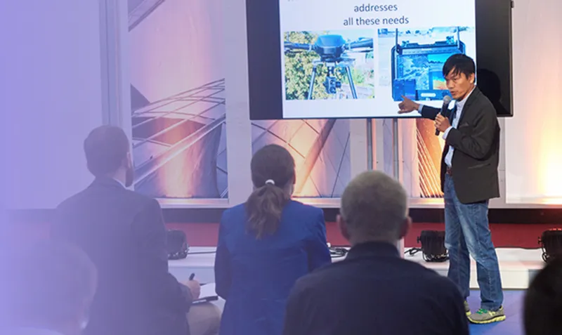

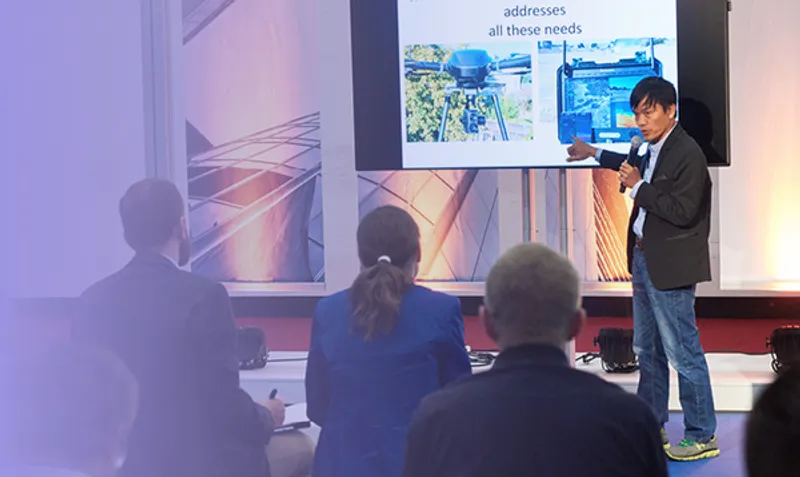
Investitionen in Strom- und Fernwärmenetze sind von zentraler Bedeutung für die Energiewende. Doch das komplexe Zusammenspiel der verschiedenen Fachabteilungen macht die Kommunikation und Umsetzung dieser Prozesse oftmals herausfordernd. In diesem Vortrag zeigen wir, wie interaktive Dashboards, basierend auf den Netzdaten der Netze Duisburg, eine zentrale Rolle spielen, um verschiedenste Datenquellen zusammenzuführen und mithilfe geografischer Bezugspunkte zu visualisieren. Anhand eines konkreten Beispiels wird der gesamte Prozess von der Datensammlung über die explorative Analyse bis hin zur Gestaltung verständlicher Visualisierungen praxisnah dargestellt.
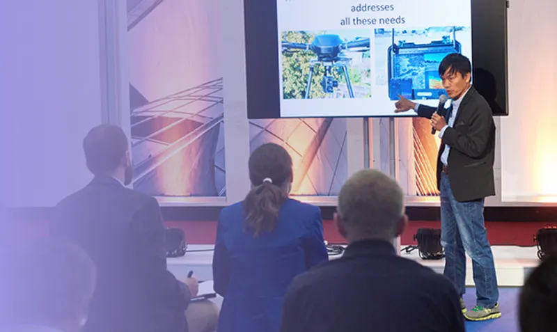
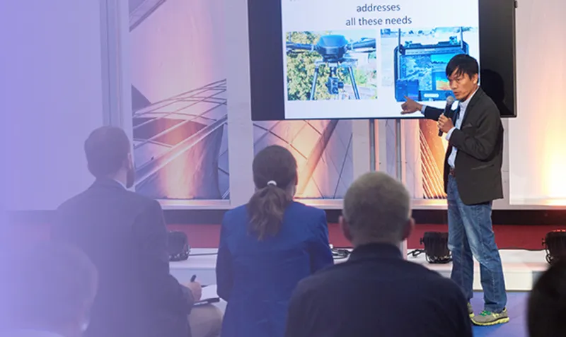
GNSS survey is usually considered as having positional records in good conditions like wide open air environments, far from tall trees and buildings. In today’s rapidly evolving geo-spatial industry, the community keeps calling for challenging complex situations by new adaptation and innovation. With the rise of new technologies, South Survey managed to bring out industry-leading solutions. Just imagine GNSS positioning at centimeter-level without satellite signals even!

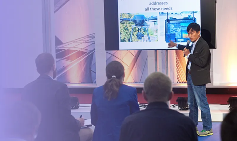
There will be alway more and more data collected and presented online. It is important to be able to scan at scale and deliver superb visuals. Arash Keissami and Jeffrey Martin will give you a glance on how to deal with reality capture at scale.