
Reality Mapping fighting urban heat
About
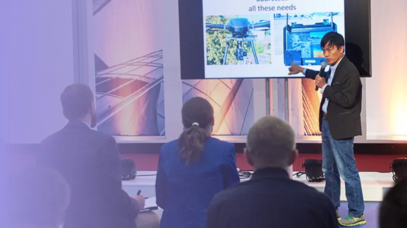
Cities are heating up and the impacts are not evenly distributed. As urban heat islands intensify, planners need solid spatial evidence to convince decision-makers, guide interventions, and prioritize the health of citizens most at risk. This presentation showcases an integrated geospatial approach to urban heat resilience. By capturing the city in 3D using aerial imaging sensors to create a thermal-aware digital twin of the urban environment. This model reveals where heat builds up, who is most exposed, and where interventions will be most effective — without conflicting with existing infrastructure or utilities. Through thermal imaging combined shadow analysis, solar exposure mapping, and full 3D volume analysis of buildings and vegetation, planners gain a powerful decision-support tool that bridges the gap between science, policy, and design. This is not just about visualizing heat — it’s about using reality-based data in combination with GIS to act faster, smarter, and more precisely in the face of rising temperatures.