Loading...

Velox is an advanced geospatial visualization and analysis platform for working directly with mobile mapping data.
The integrated GIS environment brings panoramic imagery, 3D point clouds, routes and models together in one application. Users can inspect their surroundings, compare different types of geospatial data and perform measurements without returning to the field.
Measurements can be performed directly in panoramic imagery and point clouds. Velox supports the analysis of distances, heights, clearances, profiles and cross-sections, providing users with a clear understanding of real-world dimensions and conditions within their datasets.
This makes Velox suitable for surveying, infrastructure inspection, asset management, route assessment and other applications where accurate spatial information is required.
In addition to GIS visualization and measurement, Velox provides advanced tools for heavy and special transport planning. Users can build complete 3D vehicle configurations, including trailers, cargo, hardpoints and movable wheels or axles, and simulate these configurations along a selected route.
Swept Path Analysis shows the complete movement and required space of the vehicle combination throughout the route. Clash detection can then identify potential conflicts between the vehicle or cargo and objects in the mobile mapping data, such as bridges, tunnels, overhead structures, signs or vegetation.
By combining measurement, GIS visualization, vehicle modelling, route simulation and clash detection, Velox transforms mobile mapping data into practical information for planning, validation and decision-making.
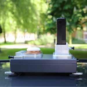
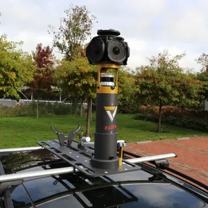
Velox can be used with data from different sources or as the final stage of the complete Smart Delta workflow: