
Loading...
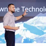
Regional BD Head
CHC Navigation (CHCNAV)
Andrei hat das globale Wachstum des Segments 3D Mobile Mapping bei CHCNAV maßgeblich vorangetrieben. Mit der Vision, effiziente und wegweisende Geodatenlösungen zu liefern, bietet er Kunden Werkzeuge, die präzise auf die neuesten technologischen Trends abgestimmt sind.
Er setzt sich leidenschaftlich für die Einführung neuer Hardware und Plattformen ein – wie den RS7 Handgeführter Echtzeit-3D-Laserscanner und die X500 Drohne. Diese schlagen die Brücke zwischen mobilen, luftgestützten und UAV-LiDAR-Lösungen und bedienen Anwendungen in den Bereichen Korridorkartierung, Asset Management, digitale Zwillinge und mehr. Als geschätzter Experte auf Geodaten-Events teilt Andrei regelmäßig sein Fachwissen zum Thema 3D Reality Capture.


Date
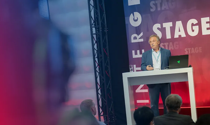
Today, LiDAR is the tool of choice for geospatial professionals seeking accurate, high-resolution 3D data across diverse environments. However, collecting data across aerial, terrestrial, and indoor domains remains technically and operationally challenging. This presentation explores a unified approach to LiDAR mapping that integrates unmanned aerial vehicle (UAV)-based scanning, handheld mobile mapping, and cloud-based processing to streamline end-to-end workflows. CHC Navigation will explore how aerial platforms equipped with lightweight LiDAR sensors can rapidly cover large or complex terrains, generating precise point clouds for topographic surveys, infrastructure corridors, and environmental monitoring. Additionally, mobile laser scanners that use a combination of SLAM and GNSS/INS positioning allow for the quick and flexible capture of indoor spaces, urban streetscapes, and GNSS-denied zones with minimal setup and disruption. The real advantage lies in combining these data streams into a single, coherent dataset. Centralized, cloud-based processing environments allow users to fuse aerial and terrestrial LiDAR data, apply trajectory corrections, classify point clouds, and generate final deliverables, such as digital terrain models (DTMs), 3D meshes, and vectorized outputs. Unifying platforms and automating data processing eliminates many traditional pain points, such as disconnected tools, time-consuming file transfers, and inconsistent results. Whether you are mapping a dense urban corridor, scanning building interiors for BIM, or conducting environmental analysis across varied terrain, this session provides insight into how a harmonized LiDAR workflow can transform your data acquisition strategy.