Loading...

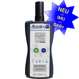
AGIS is a modular GIS field software for Android with an intuitive interface and extensive functions for mobile capture, editing, and staking out of points, lines, and polygons. Length, area, and quality attributes as well as georeferenced photos and ESRI-compliant shapefiles facilitate documentation and further processing. AGIS is used with the A08-RTK GEO-MICHEL® in agriculture, forestry, and construction.