Loading...

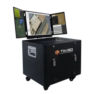
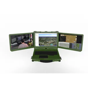
Tiki3D Reality 2026 is an advanced photogrammetry and reality modeling platform designed for efficient, high-quality 3D reconstruction. It supports diverse data sources, including mobile devices, UAV cameras, high-resolution 150MP medium-format cameras, and satellite imagery. Enhanced aerotriangulation and processing workflows deliver improved efficiency, stability, and scalability across projects of different sizes.
The new version supports diverse data inputs and flexible model outputs, including Gaussian Splatting and GSOrtho, with compatibility across widely adopted industry-standard formats for seamless integration into various applications and workflows.
Built-in model editing and refinement tools allow users to quickly correct common issues such as water surfaces and road intersections, providing a streamlined workflow from reconstruction to final model delivery. Tiki3D Reality 2026 supports terrain-level, city-level, and component-level modeling, producing accurate and realistic 3D results with detailed representation of buildings, roads, vegetation, and individual objects.