
Hoch- und Tiefbau // Civil Construction - CONSTRUCTION & CIVIL ENGINEERING
High Accuracy at Scale: Automating Reality Capture for the Built World
Robotik und Automation // Robotics and Automation
Reality Capturing
Photogrammetrie / Fernerkundung // Photogrammetry and Remote Sensing
GNSS
Luftbildvermessung // Aerial Imaging and Mapping
Über uns
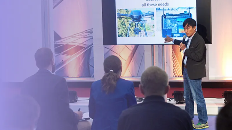
As construction demands intensify and margins shrink, manual survey methods can’t keep up. This session explores how high-accuracy drone mapping—enhanced by RTK/PPK workflows and docked drone automation—is transforming how contractors document progress, validate work-in-place, and mitigate risk. You’ll learn how firms are cutting survey time by 70%, reducing rework with centimeter-grade overlays, and scaling data capture across projects without adding headcount.
