Lade Informationen...

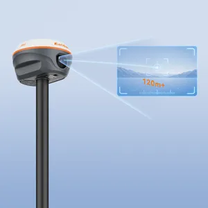
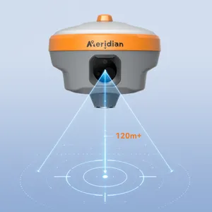
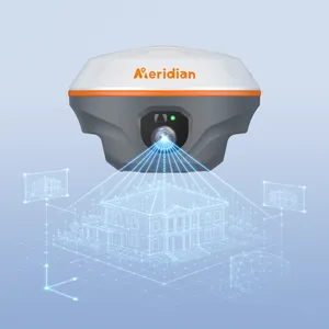
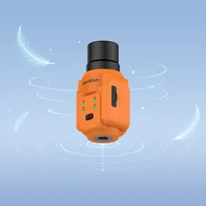
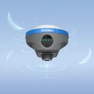
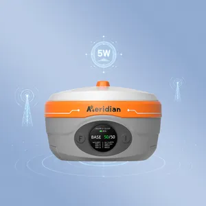
M30 integrates an upgraded dual‑HD camera system, a calibration‑free IMU, full‑constellation GNSS, and 4G connectivity, empowering surveyors to capture site conditions and obtain survey‑grade coordinates instantly in the field or retrospectively in the office. With its “measure‑what‑you‑see” capability, you can safely collect data from obstructed points (GNSS‑denied areas), inaccessible targets, hazardous zones, and transient features, mapping hundreds of points in minutes. What’s more, the on‑site imagery archives allow you to perform critical measurements long after fieldwork, even if the scene has been altered, removed, or completely vanished.