Loading...

Professional Surveyor, Ph.D. Researcher
The Survey School
Rami Tamimi is a Licensed Professional Surveyor, UAS Pilot, and the Founder of The Survey School. He is dedicated to teaching future professionals how to seamlessly incorporate traditional fieldwork with modern tools, such as LiDAR and photogrammetry, while maintaining the core principles of survey-grade accuracy.
Currently serving as the Lead Geomatics Manager for the Midwest region at WSP, Rami focuses on advancing the firm's geomatics capabilities across Michigan and the broader Midwest. In this role, he supports complex project delivery and actively mentors staff to help build a stronger future for the industry.
Academically, Rami is a Ph.D. candidate in Geodetic Engineering at The Ohio State University. His doctoral research is concentrated on bridging the gap between traditional surveying practices and cutting-edge geospatial technologies.




Date
Companies need to level up their marketing and the website and Google ads is not enough anymore. Let's dive deeper into waters of YouTube content creation and building a brand on Linkedin with Rami Tamimi and Michal Gula

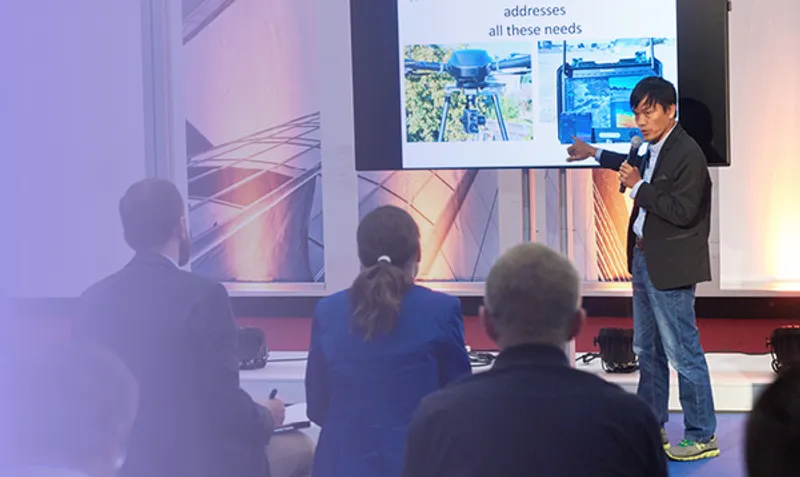
The most powerful mobile mapping systems of the next generation are hiding in plain sight. For years, we've overlooked the geospatial potential of the consumer-grade sensors that saturate our daily lives—from the GNSS, IMU, and LiDAR sensors in a smartphone to the integrated cameras of a modern vehicle. This presentation reveals how this ubiquitous hardware can be calibrated and transformed into professional-grade mobile mapping instruments capable of achieving survey-grade accuracy. We will challenge conventional thinking by demonstrating a clear, progressive path from rigorous accuracy assessments of handheld devices to advanced vehicle-based kinematic surveying, all using accessible, off-the-shelf technology. This is the story of how we stop waiting for new tools and start leveraging the geodetic potential of the ones we already have.