
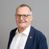
Rudolf Staiger
Präsident
DVW e.V. - Gesellschaft für Geodäsie, Geoinformation und Landmanagement
Matchmaking-Informationen
Teilnahme

Awarding Ceremony Geodäsie Preis
Begrüßung durch den Präsidenten des DVW
Grußwort des Schirmherrn (Bundesministerium des Innern)

Spatial Data and AI: The Future of Work is here


Press Conference // Pressekonferenz „Rethinking Data – Geodata in the Age of AI, Sovereignty and Digital Realities“
Erdbeobachtung und Künstliche Intelligenz
Verleihung DVW-Promotionspreis
Meine Veranstaltungen (7)
Datum
Veranstaltung
1.1.1 Opening Keynotes "Geo & KI"
Begrüßung durch den Präsidenten des DVW
Sprecher*in (1)
Rudolf Staiger
Präsident, DVW e.V. - Gesellschaft für Geodäsie, Geoinformation und LandmanagementVeranstaltung
1.1.1 Opening Keynotes "Geo & KI"
Grußwort des Schirmherrn (Bundesministerium des Innern)
Moderator*in (1)
Rudolf Staiger
Präsident, DVW e.V. - Gesellschaft für Geodäsie, Geoinformation und LandmanagementVeranstaltung
1.1.1 Opening Keynotes "Geo & KI"
Erdbeobachtung und Künstliche Intelligenz
Erdbeobachtung und Künstliche Intelligenz
Erdbeobachtung ist ein ganz wesentlicher Bestandteil der modernen Raumfahrt. Durch Erdbeobachtungen können Prozesse und Maßnahmen optimal beobachtet und bewertet werden. Die große Fülle an Daten, die Verknüpfung unterschiedlicher Daten und die Formulierung von Optionen sind Bereiche, in denen künstliche Intelligenz sehr sinnvoll verwendet werden kann. Landwirtschaft, Stadtplanung aber auch generelle Fragen des Klimawandels sind dafür Beispiele.
KI & Geoinformationen
Moderator*in (1)
Rudolf Staiger
Präsident, DVW e.V. - Gesellschaft für Geodäsie, Geoinformation und LandmanagementVeranstaltung
1.1.1 Opening Keynotes "Geo & KI"
Spatial Data and AI: The Future of Work is here
Spatial data and its creation was once a niche field reserved for specialists. Digital Transformation and the need for better interdisciplinary work and collaboration have shifted this perception. Space and time connect information from multiple domains of work in a simple way – from maps to asset information, BIM, networks, imagery or unstructured data. Geospatial accuracy becomes essential for enabling multi-modal and multi-temporal analysis. Survey and reality mapping technology converges – and becomes usable for everyone, facilitating how we collaborate and communicate, democratizing how we create maps and monitor our assets. AI is driving deeper understanding of this content across domains. The shift to Agentic AI will further enhance workflow connectivity and accelerate the journey from idea to impact. Together with real-time sensors, GIS and the power of connected platforms this converges into Spatial Digital Twins, these innovations will elevate the discipline of surveying, mapmaking and geospatial analysis into critical business infrastructure for organizations.
3D-Stadtmodelle, 3D-Visualisierung
Geodateninfrastrukturen, Open Data, Data Spaces
Trends und Entwicklungen in der Geoinformationsverwaltung
Urbane Digitale Zwillinge und Smart Cities
KI & Geoinformationen
Schutz kritischer Infrastrukturen
Trends in der Kartographie
Building Information Modeling für Infrastrukturen
Sprecher*in (1)
Konrad Wenzel
CTO Digital Twins, EsriModerator*in (1)
Rudolf Staiger
Präsident, DVW e.V. - Gesellschaft für Geodäsie, Geoinformation und LandmanagementVeranstaltung
2.4.1 Geodesy for climate research
Verleihung DVW-Promotionspreis
Sprechende (2)
Rudolf Staiger
Präsident, DVW e.V. - Gesellschaft für Geodäsie, Geoinformation und LandmanagementModerator*in (1)
Annette Eicker
HafenCity UniversitätVeranstaltung
Pressekonferenz // Press Conference
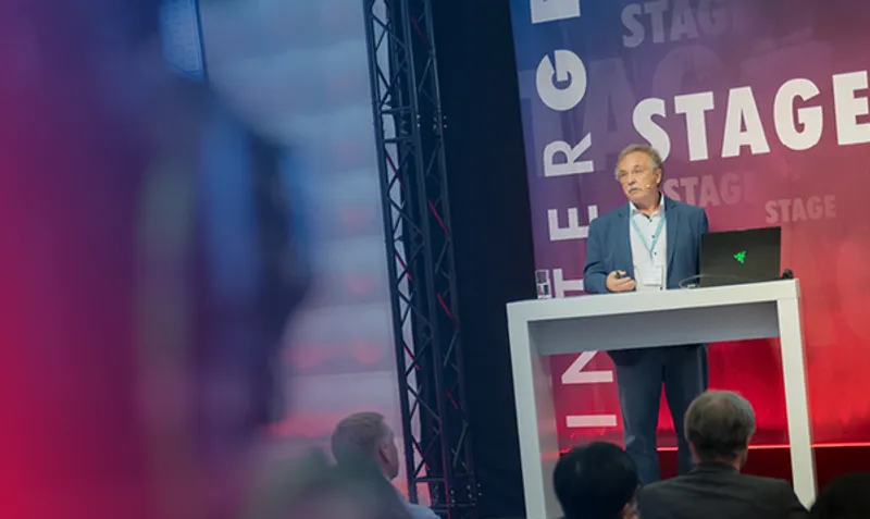
Press Conference // Pressekonferenz „Rethinking Data – Geodata in the Age of AI, Sovereignty and Digital Realities“
Main Stage
Sprechende (5)
Henning Sandfort
President Geosystems Division, HEXAGONRudolf Staiger
Präsident, DVW e.V. - Gesellschaft für Geodäsie, Geoinformation und LandmanagementVeranstaltung
3.3.2 Earth in motion: observation systems, reference systems, Earth rotation, geodynamics
Awarding Ceremony Geodäsie Preis
The technical article "Ship-based GNSS Contribution to Tsunami Warning in Europe and the Mediterranean" by James Foster and Bruce Enki Oscar Thomas, published in zfv – Journal of Geodesy, Geoinformation and Land Management, has been awarded the Geodesy Prize of the Nico Rüpke Foundation.
The Chairman of the Nico Rüpke Foundation, Prof. Erich Kanngieser, and the lead editor of zfv, Prof. Jürgen Müller, presented the award to the article’s authors, James Foster and Bruce Enki Oscar Thomas.
Sprechende (3)