Loading...
 aaaa
aaaaEvery infrastructure decision starts below the surface.
Kontur helps infrastructure owners and engineering professionals understand the unseen, transforming complex subsurface data into confident decisions.
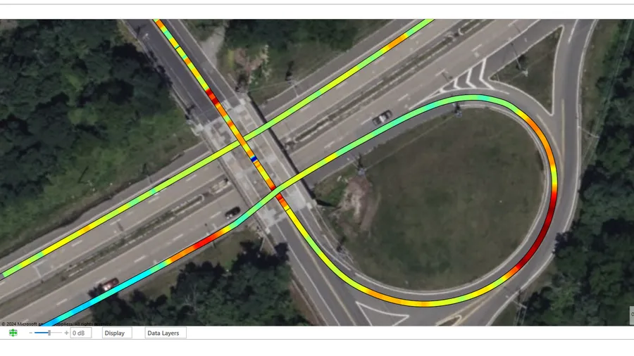
Our integrated workflow spans every stage of the project, from planning and data collection to analysis, visualization, and decision support. By combining high-performance 3D Ground Penetrating Radar with intelligent software and AI-assisted interpretation, we make it faster and easier to uncover the information that matters.
The result is a more complete understanding of critical infrastructure, helping organizations reduce uncertainty, prioritize maintenance, minimize project risk, and make better long-term investment decisions.
Our latest innovation, Kontur Orbit, extends these capabilities through AI-assisted interpretation and collaborative cloud-based workflows, reducing analysis time while making advanced subsurface insights accessible to more users.
Meet us to discover how Kontur supports smarter infrastructure decisions across:
• Roads & Pavements
• Utility Mapping
• Bridge Decks
• Airports
• Railways
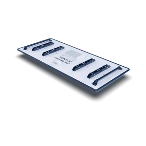
Visit us at INTERGEO to experience our latest innovations in high-performance 3D GPR technology, including a major product launch designed to simplify subsurface data collection in the field.